
")
")
About Mauritius

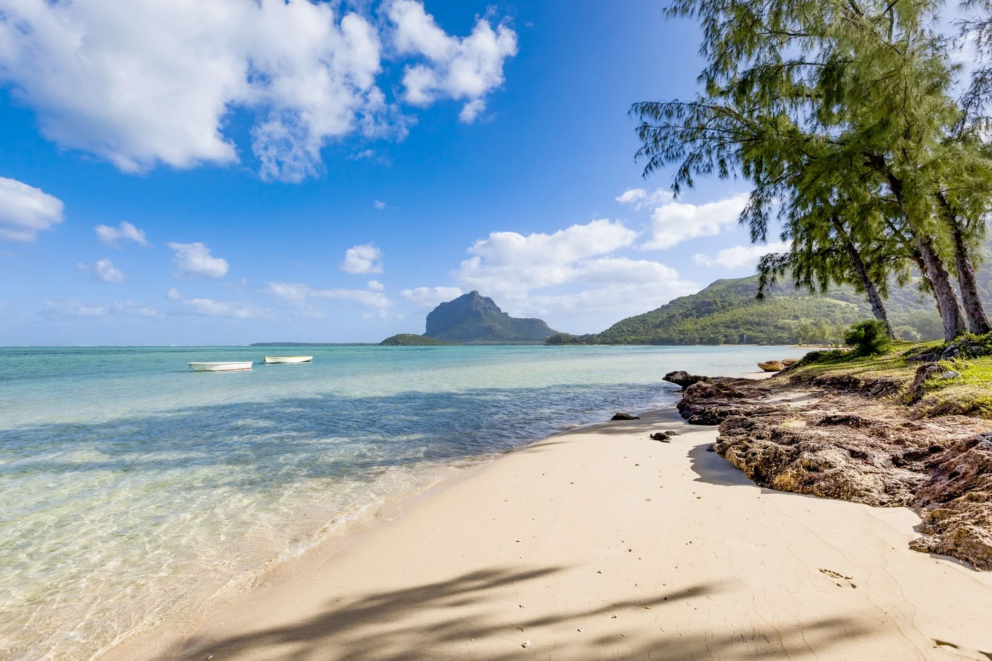
Mauritius — an island nation world-renown for its lush, tropical vegetation, sugar cane plantations, dramatic mountains, sugar-white beaches, aquamarine lagoons and exotic mix of Indian, African, British, French, and Chinese cultural influence — is located in the Indian Ocean 500 miles east of Madagascar.
Mauritius is only 28 miles wide and 40 miles long. It is of volcanic origin and is almost entirely surrounded by coral reefs. Port Louis, both the capital and the largest city of Mauritius, was set up in 1736 by the French East India Company. The capital city is home to 40% of the national population.
Mauritius is home to some world-famous public beaches including Flic en Flac, as well as Pereybere, Tamarin, Blue Bay, La Morne, Belle Mare, and Grand Bay.
The colorful national flag of Mauritius, also known as the “Four Bands, was adopted upon independence in 1968. It consists of red, blue, yellow and green bands representing:
Red: the bloodshed at the time of slavery and colonization, or self-determination and independence.
Blue: the Indian Ocean surrounding the island
Yellow: the new light of independence shining, golden sunshine, or the bright future.
Green: the lush vegetation of the island.